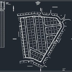
Cadastral Surveys involve the accurate demarcation of property boundaries, beacons, servitudes, and the subdivision & consolidation of land parcels mostly registered within the South African Deeds Office system.
Control Surveys establish fundamental horizontal and vertical position data, known as datums.
Establishment of Site and Project Benchmarks
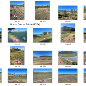
Ground Control Points (GCPs) for Aerial Mapping
Levelling Routes of New and Existing Infrastructure
Conversion of Geospatial data between various Datums & Systems
03.
Construction & Engineering Surveys
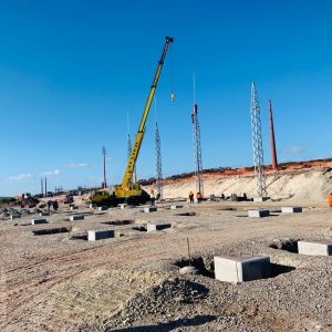
Construction and Engineering Surveys are conducted to support the planning, engineering design and construction of infrastructure such as buildings, roads, bridges, tunnels, power lines, pipelines, and railways etc. These surveys include profiling, volume calculations, and area assessments to ensure accurate positioning of planned or designed structures.
Staking Out Surveys
Setting Out Surveys
Precise Engineering Surveys
Verify the location of structures for Construction
Topographical Surveys entail meticulously mapping the diverse natural and man-made features of a specific area of land. These surveys provide comprehensive information about the terrain, including elevation, contours, vegetation, water bodies, buildings, roads, and other relevant features.
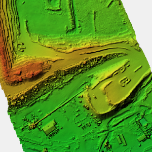
Photogrammetry is a method used in Remote Sensing, involving utilizing aerial or satellite photographs for precise measurements. These measurements are crucial for mapping landscapes, creating topographic maps, and other geospatial applications.
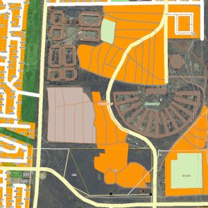
Land Management & Administration involves ensuring the accurate delineation of land parcels, supporting spatial planning and development, ensuring regulatory compliance, addressing land tenure issues, and contributing to the development of land information systems to support effective land governance.
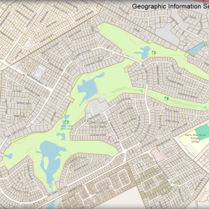
Geographic Information Systems (GIS) are computer-based systems utilized to digitally represent and analyze geographical features, land use patterns, and spatial relationships. GIS plays a pivotal role in urban planning, natural resource management, and decision-making processes across various sectors.
Mining and Quarry Surveys involve mapping mining areas, creating diagrams for compliance with regulatory requirements, and accurate volume calculations for stockpiles. These surveys are essential for ensuring regulated, efficient and safe mining operations.
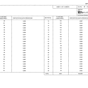
Sectional Title Surveys are conducted in compliance with the Sectional Titles Act 95 of 1986, enabling the separate ownership of individual units within a multi-unit development, such as apartment buildings, townhouses, or office complexes. Sectional Title Surveys are essential for establishing the legal framework and boundaries of each unit within such developments.
Development of New Sectional Title Schemes, Estate or Complex